Hiking on Sharp Island - Hap Mun Bay to Kiu Tsui
This is our kind of beginner’s trail that is easy to hike and complements picturesque views all along. Try this hike from Hap Mun Bay Beach (also known as Half moon bay) to Kiu Tsui beach (Sharp Island). Hap Mun Bay beach is one of the 42 gazetted beaches in Hong Kong. Gazetted beaches are beaches that have been announced in the Government Gazette as bathing beaches and are managed by the Leisure and Cultural Services Department (LCSD). This water at this beach tops the water quality ratings in Hong Kong.
This beach is located facing Hap Mun Bay on the southern side of Sharp Island, Sai Kung District, Hong Kong. It's a short Kaito (ferry/boat) ride from Sai Kung Pier. Kaito is usually used to serve remote coastal settlements in the territory's outlying islands in Hong Kong.
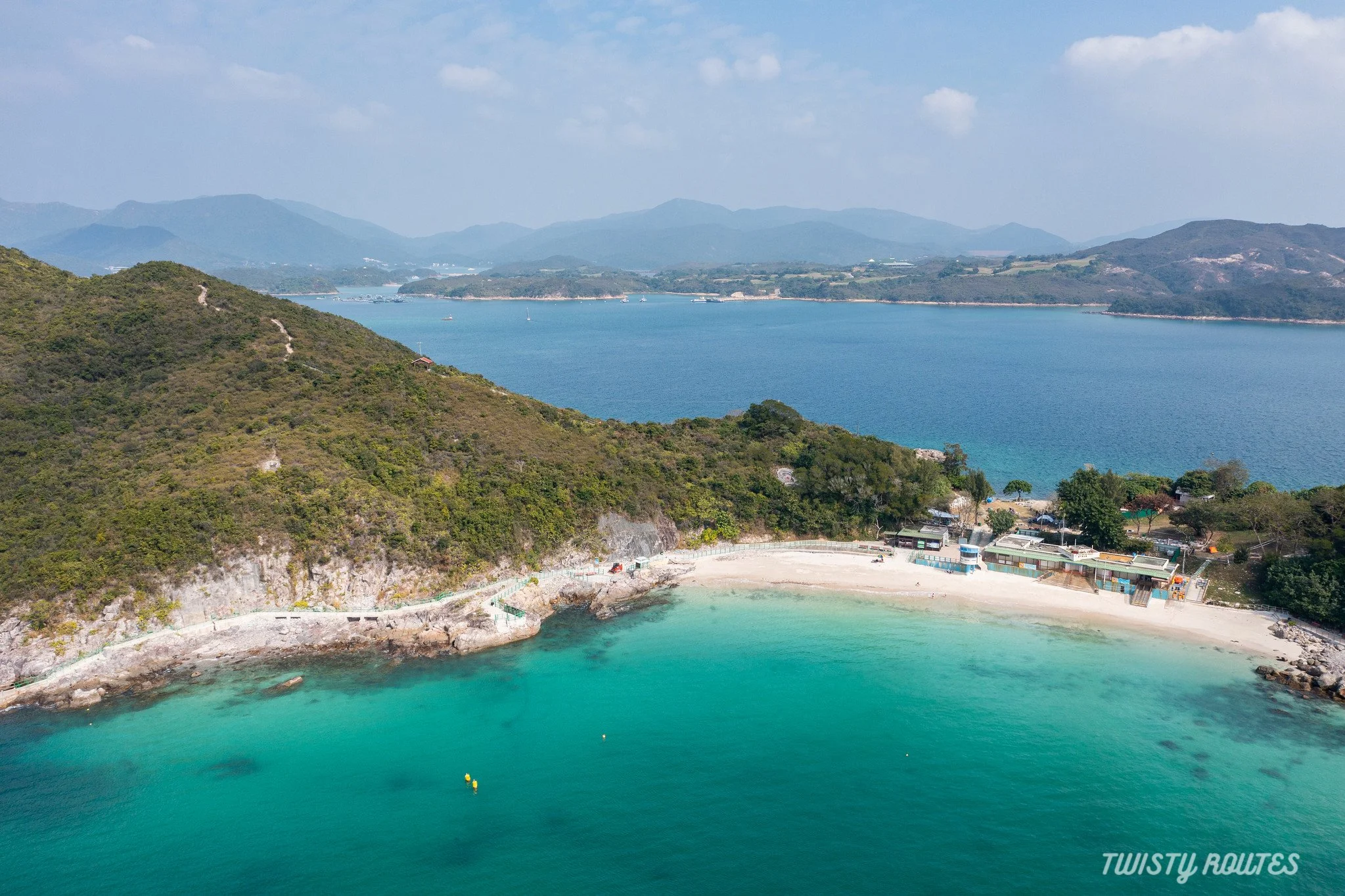
Aerial view of 99 meters long Hap Mun Bay beach
|
Elevation 136 meters |
Distance 1.6 kilometers |
Time Taken 1 hour |
Difficulty Rating Easy |
Highlights of the hike
Kaito ride
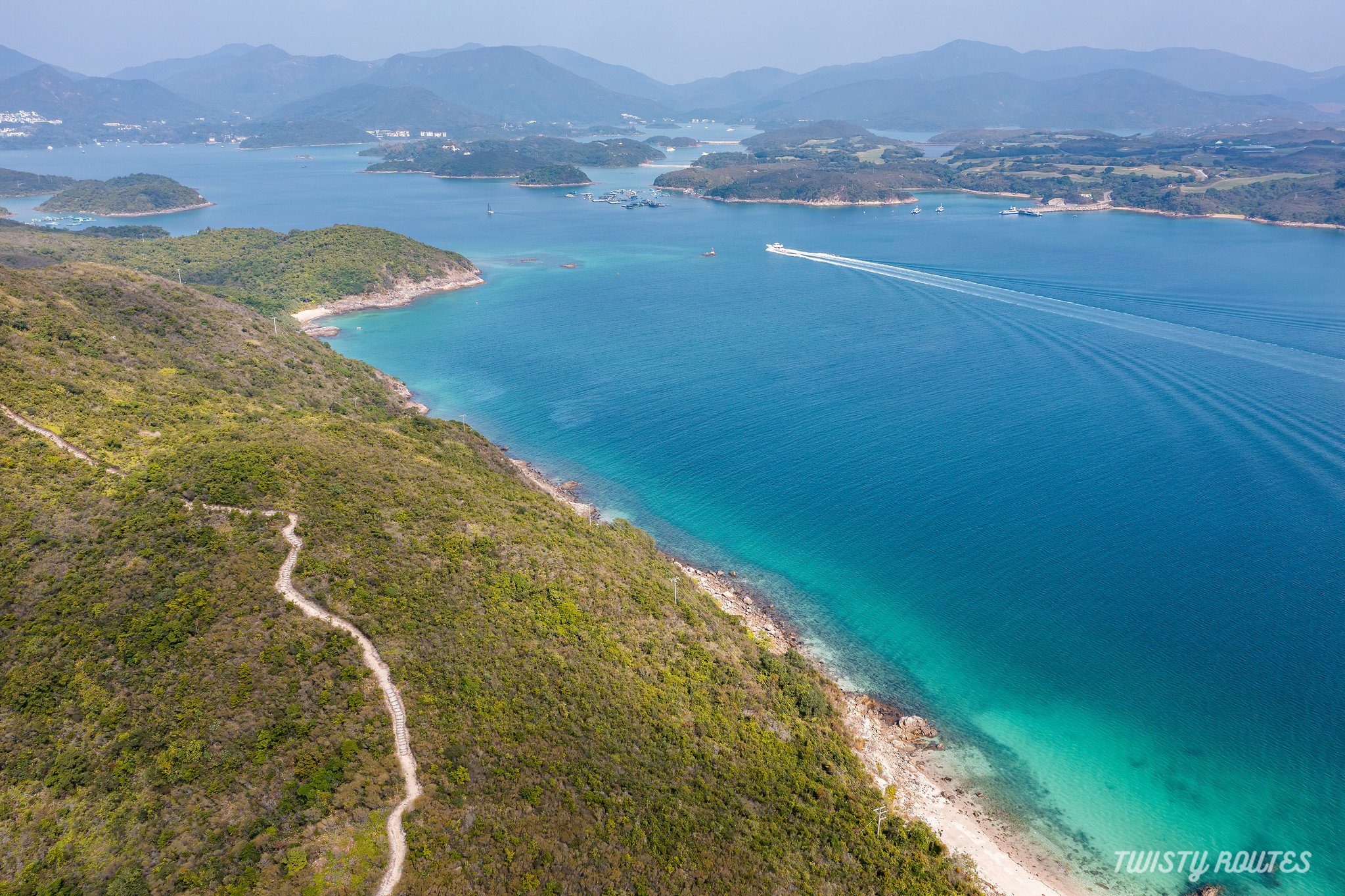
Kau Sai Chau Golf Course and High Island reservoir
Kiu Tsui Viewing point
Pineapple bun rocks
Tombolo
Sand artist
Evening stroll at Sai Kung Pier
Here is a short video of this hike
Getting Here
From Sai Kung Pier it takes about a 10-15 minutes by Kaito (ferry/boat) ride which drops you at the start of the hike. We started our hike from Hap Mun Bay beach and ended at Kiu Tsui Beach. You can also do it another way round.
Cost of Kaito is HK$ 40 return ticket to Hap Mun Bay beach and HK$ 30 return ticket to Kiu Tsui beach.

Kaito to Hap Mun Bay
The first stop of Kaito is Kiu Tsui bay but if you want to start the hike from Hap Mun Bay beach get off at the next/last stop. Once you get off the Kaito, you can follow this pathway to arrive at the Hap Mun bay beach. There are public restrooms, bbq sites, and kiosks here. Sometimes people are also camping around here.

Path to Hap Mun Bay beach

Hap Mun Bay beach

Map of Sharp Island Country Trail

Camping at Hap Mun Bay
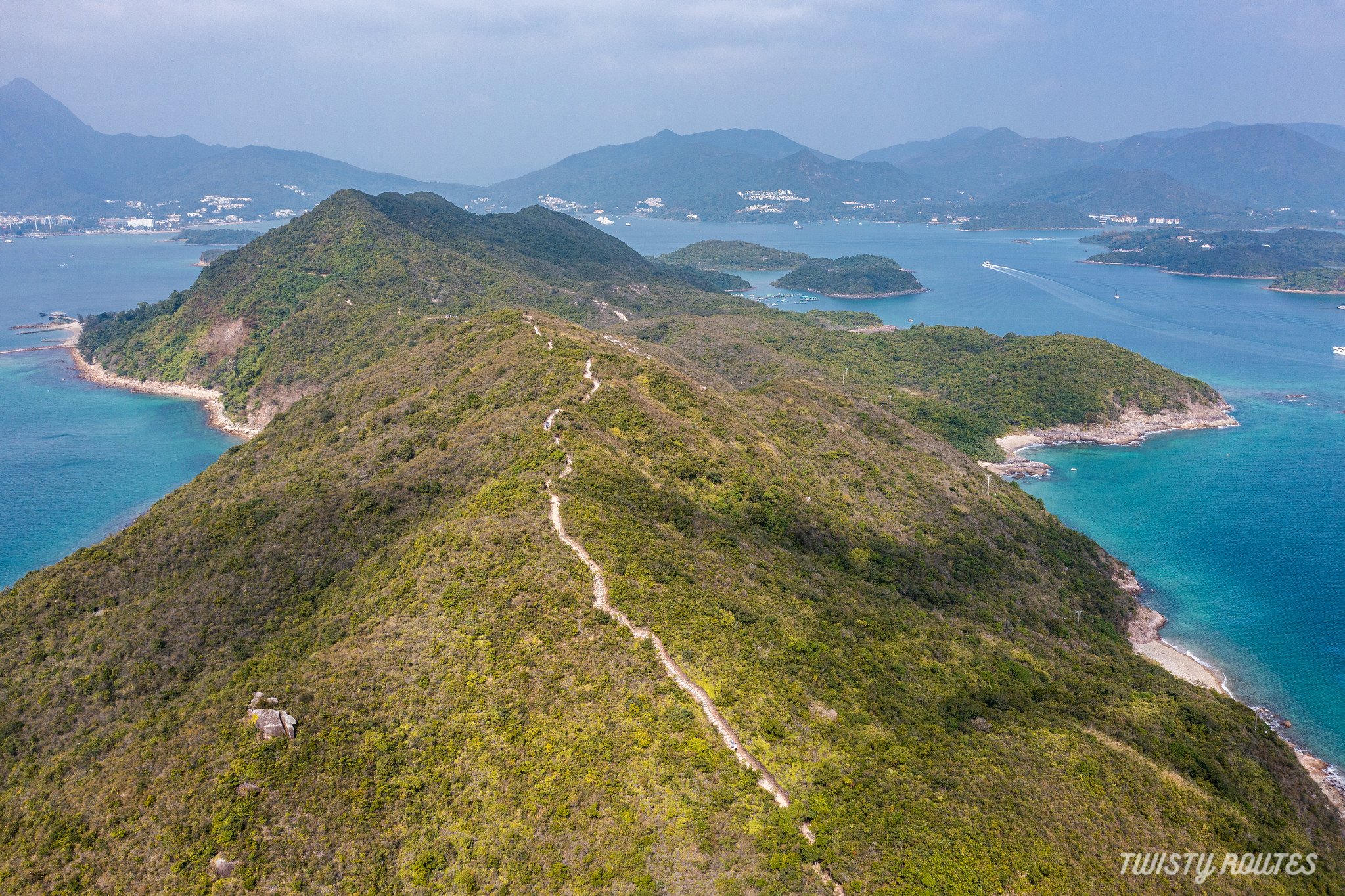
Opposite the camping area, you will notice the stairs, this is the starting point of the hike. Follow the stairs as there is a gradual climb uphill.

Starting point of the hike towards Kiu Tsui beach - 1.6km from here

There is a gradual uphill and a few flat patches too. Along the way, there are a few signboards showing the distance on either side of the hike.

Sign board along the way
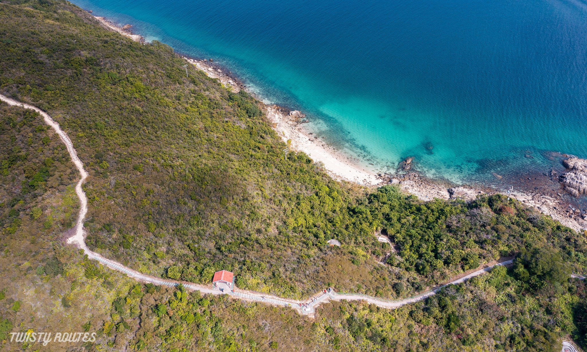
Aerial view of 1.6km hiking trail and pavilion to rest
Along the way, you will also notice a few viewpoints with a fixed wooden tripod to place your phone and take selfies/timer photos. So cool. Lets us know in the comments below if you spotted them and tried placing your phone here to get a perfect shot.

Tripod for Phones

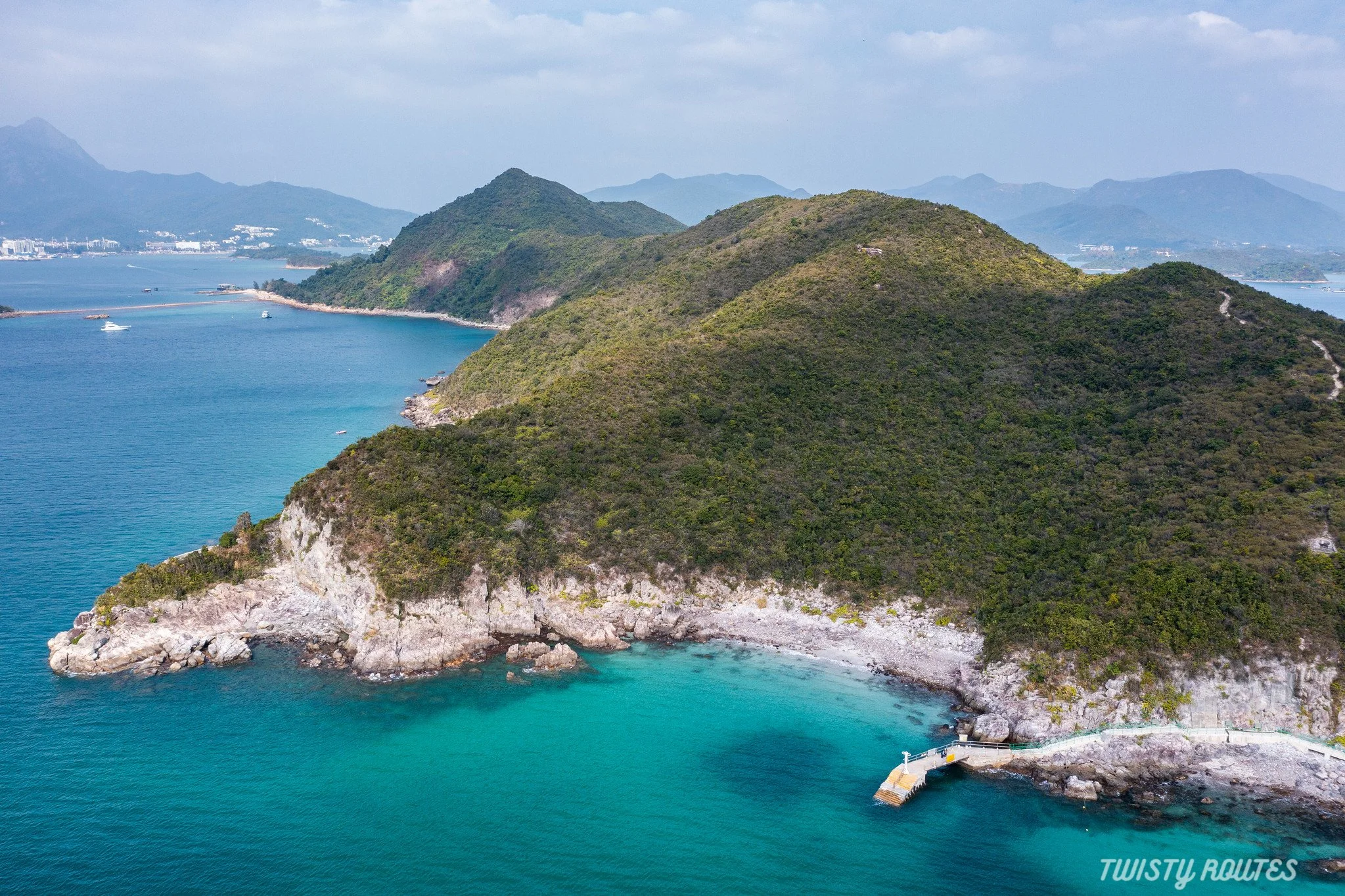
Kiu Tsui Viewing point
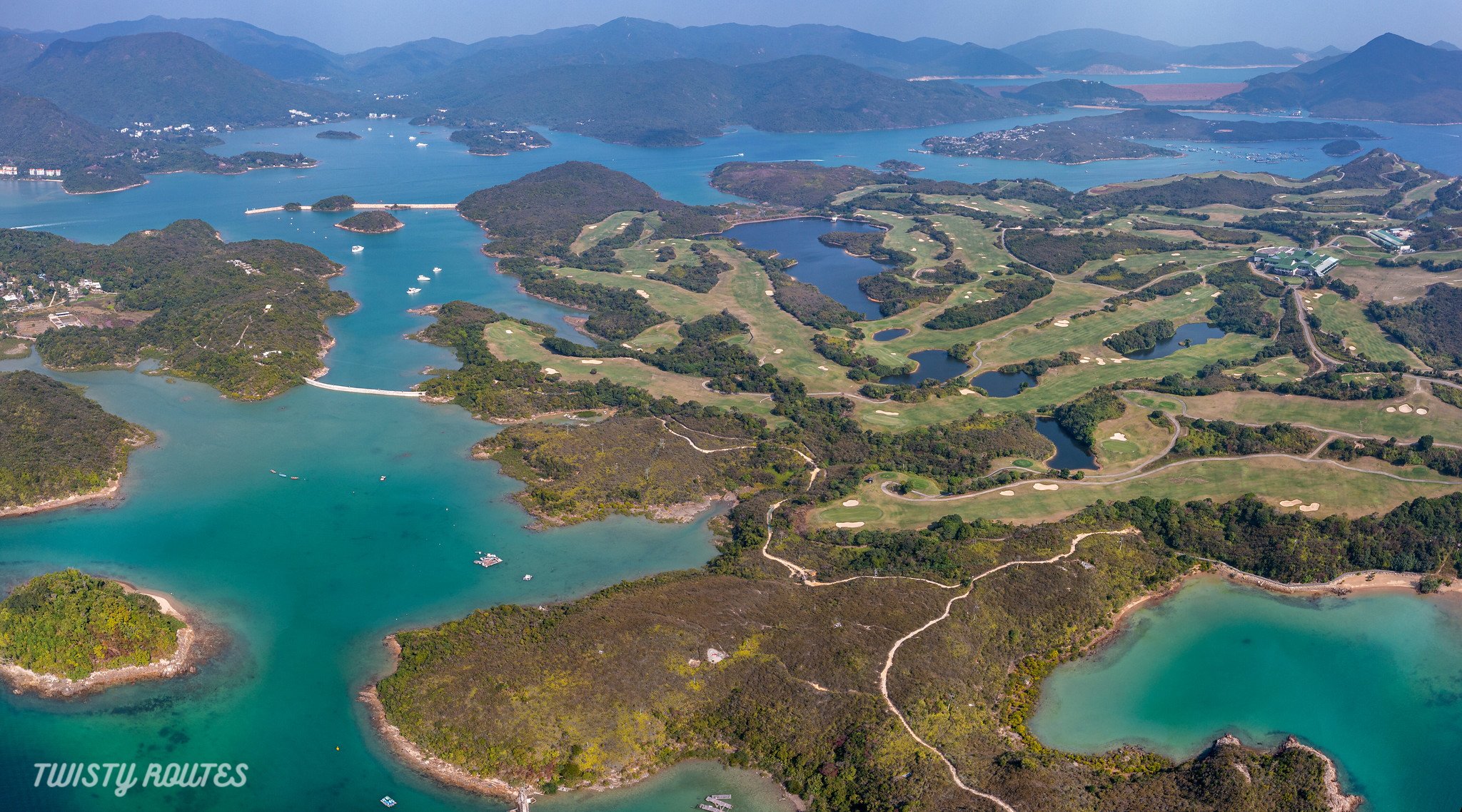
Aerial view of Jockey Club Kau Sai Chai Public Golf Course (KSC) and High Island reservoir at a distance
Kau Sai Chau golf course is the first and only public golf course in Hong Kong. It was built during 1994-95 with funds donated by The Hong Kong Jockey Club Charities Trust. It has three 18-hole courses covering over 250 hectares of land.
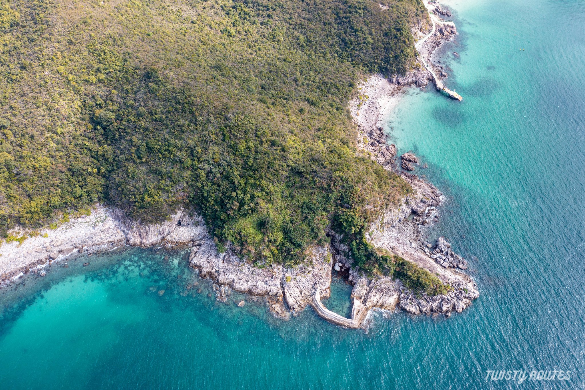
From here onwards we will start descending towards Kiu Tsui beach. There is a small patch of the path where roots are protruding out from the ground. Be a little careful especially if hiking with small children.

This final stretch of downhill stairs before you arrive on the other side (Kiu Tsui beach) - if you plan to do the hike from Kiu Tsui beach to Hap Mun beach this is a steep climb up with no views to distract you.


Entering Kiu Tsui Beach

Pineapple bun shapped rocks at Kiu Tsui beach
If you arrive during low tide walk across the tombolo and then head back to Sai Kung town centre in your respective Kaito using your return ticket. You can also stroll around Sai Kung pier which has a unique vibe of a seaside town and you will notice the pier turning into colourful seafood floating market.

A colourful floating seafood market
To wrap up the day, if you are interested in some street art - there are more than 20 art pieces designed by local and international artists. You can explore all of them in less than an hour. Check out our blog and video which gives a quick glimpse of what the artwork looks like and a detailed map of each artwork.
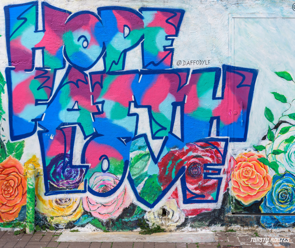
Street Art in Sai Kung
Useful tips
Start your hike from Hap Mun Bay beach and end it towards Kiu Tsui
Mostly unshaded hike apart from a very few sections near Kiu Tsui viewing point, so caps, umbrellas, and sunscreen are a must-have
Check the timings of low tide so you can walk across the tombolo(a 200m natural rocks and sand path made up of sediments transported and deposited by wind and waves) when the water level is low and it’s easily visible. It connects Kiu Tsui beach and Kiu Tau (橋頭) a small island.
Photo Gallery