Lantau link hike (aka Fa Peng Trail)
It is well known that in terms of urban infrastructure, what Hong Kong offers is second to none. One of the many architectural gems in Hong Kong is the Lantau Link which enables road connectivity between Hong Kong’s largest island, Lantau, and Tsing Yi Island.
Today, we hiked the Lantau link hike that originates at the toll plaza of the Lantau Link. This easy to moderate difficulty hike provides uninterrupted views of the two bridges that make up the Lantau link.
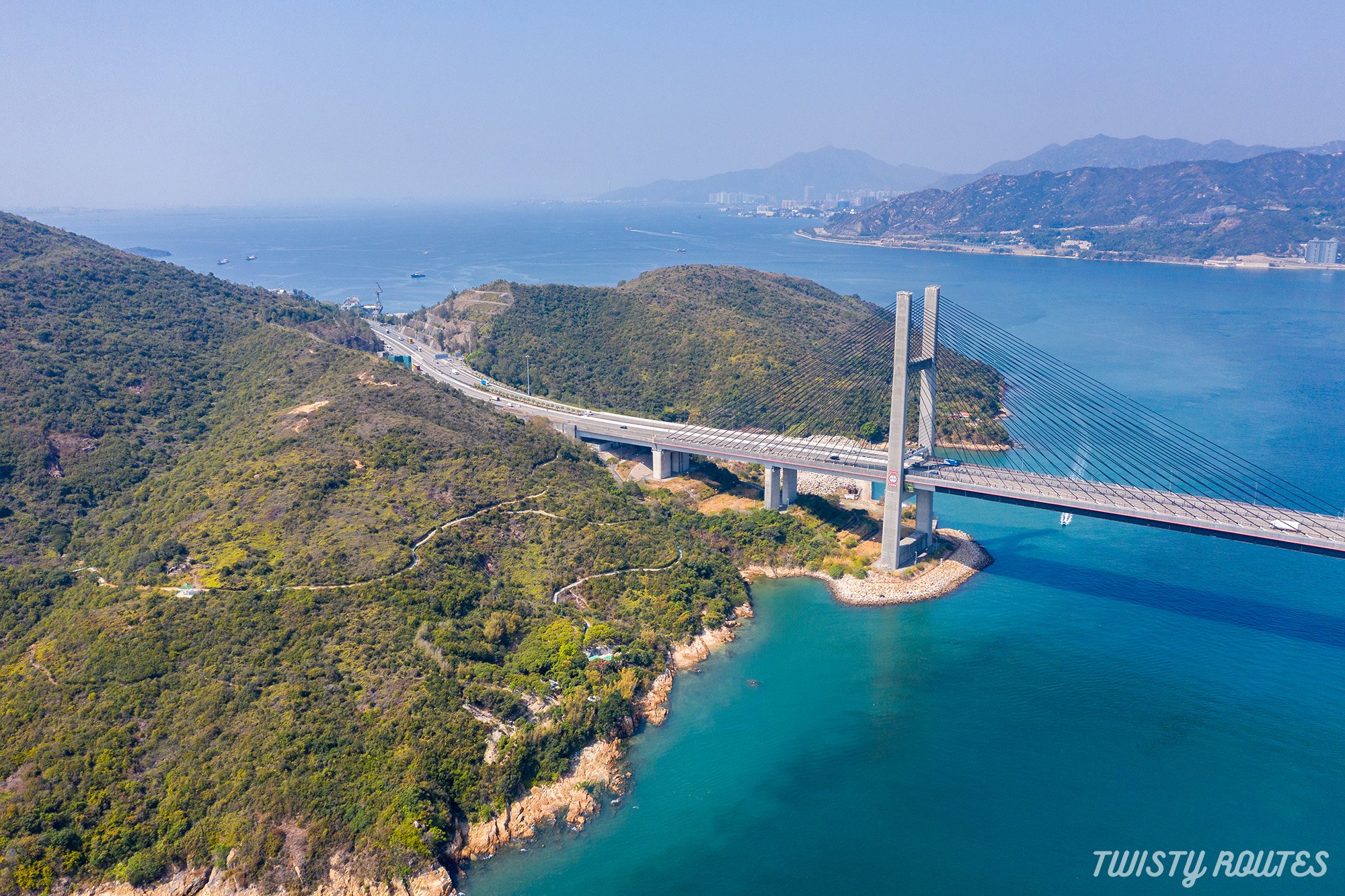
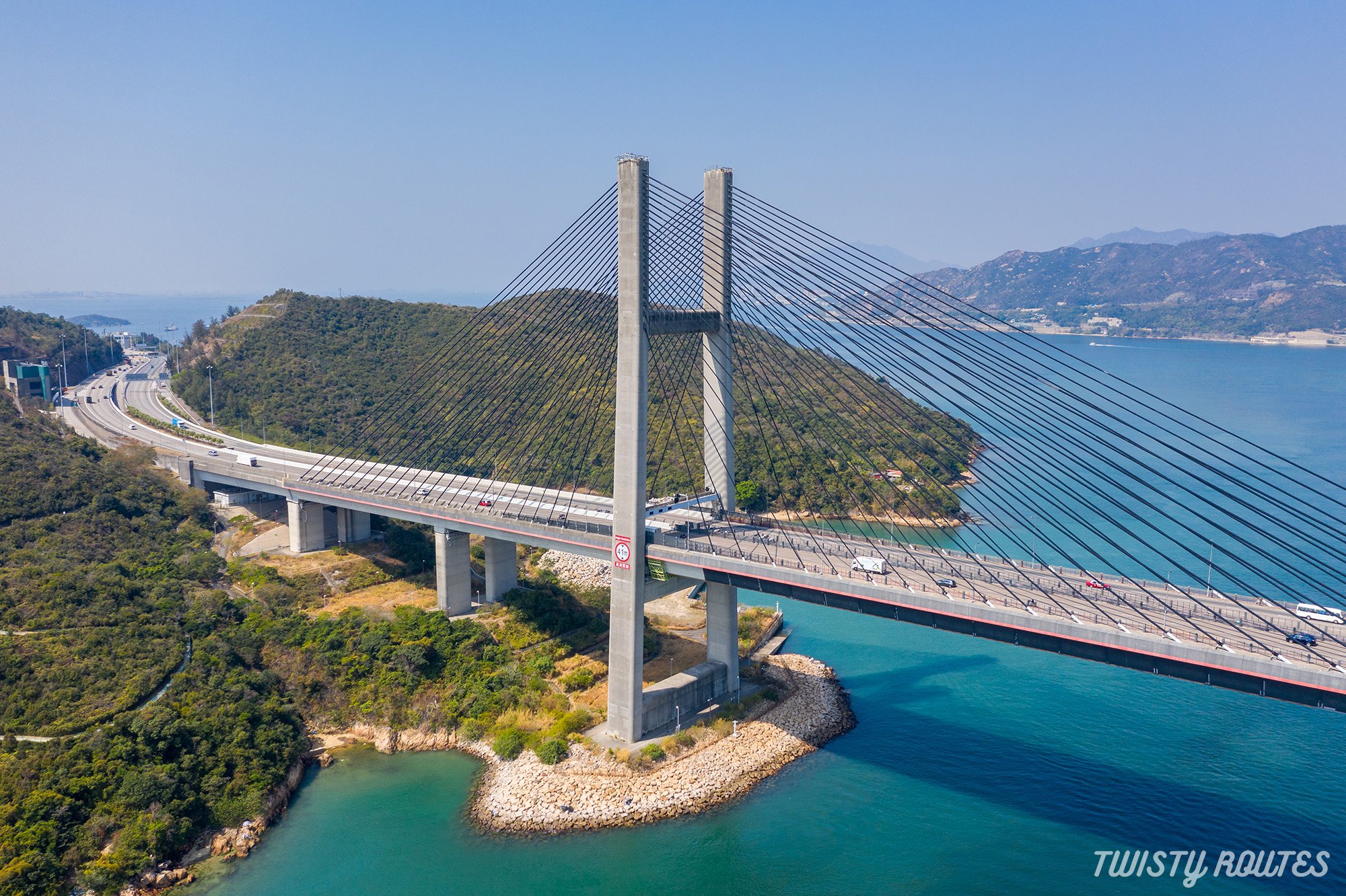
The Kap Shui Mun Bridge connects Lantau to Ma Wan Island.
The Tsing Ma Bridge provides connectivity from Ma Wan to Tsing Yi.
On a clear day, you can also view the Ting Kau Bridge, which connects Tsing Yi to Kowloon, in the background.
This trail, also known as the Fa Peng trail, starts from the Lantau link toll plaza and winds its way to the top of the Fa Peng Teng mountain (273 meters high). The top of the mountain is adorned by a large rock, which some say resembles a vase. Hence the name of the mountain since Fa Peng in Chinese (花瓶) translates to Vase.
We started the hike early in the morning and luckily could get clear views of the three bridges. But eventually, it started getting hazy and quite hot as well, so this time we didn’t do the entire hike but just hiked to the viewing platform midway to the top (99 meters high) and then down to Tso Wan pier, besides a small beach, and then back the same way. We’ll save the entire hike for another, preferably cooler day!

Panoramic views of the 3 bridges
|
Elevation 99 meters |
Distance 4.5 kilometers |
Time Taken 60 - 90 mins |
Difficulty Rating Easy |
Highlights of the hike
Stunning views of 3 bridges in one hike
Walking along the Lantau link Route 8
For ones who want to challenge themselves, do the complete loop
Here is a short video of this hike
Getting Here
From the city take any E or A bus towards Tung Chung to Airport such as E11A, E11, E21, E21A, E23A, E34A, and more, and alight at the Lantau link bus stop. Here is a link to our timelapse video of the E11 bus from Wan chai showing the route to follow and alighting bus stop
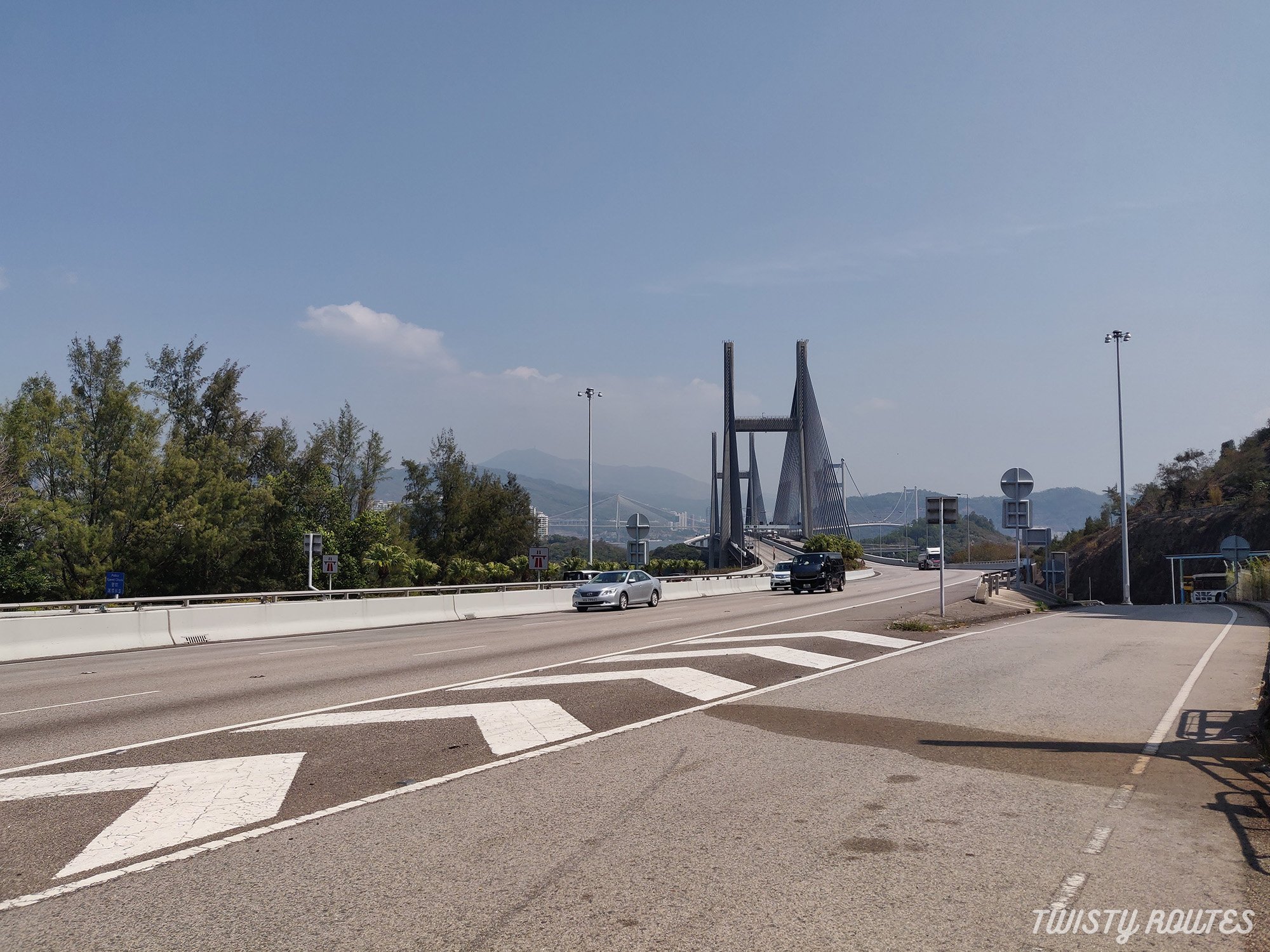
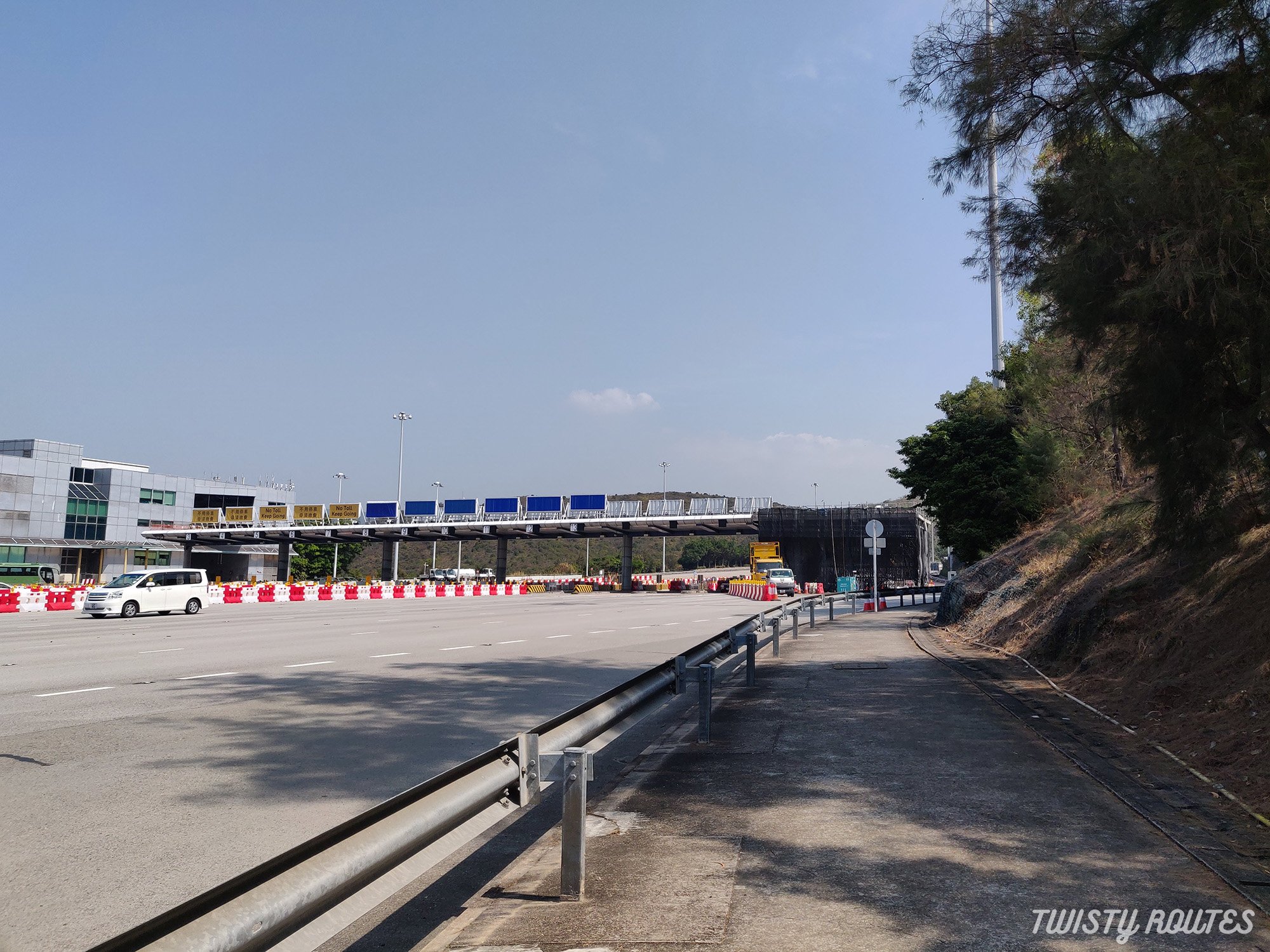
From Tung Chung, take the E21A or E21 bus and alight at the Lantau toll link. Cross on the other side via the subway. There is a lift at the end of the subway. head towards the bus stop.
This is your starting point.
Follow the paved path on the right side heading towards the bridge.
Walk until you arrive at below and follow the open area (extreme right) path

Take the staircase downhill, towards the flat land and you will soon be under the bridge.

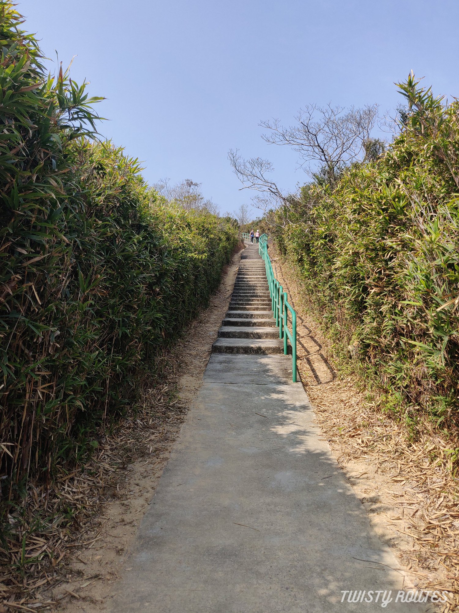
Keep right, follow the green railings from here and you will arrive at another flight of stairs.

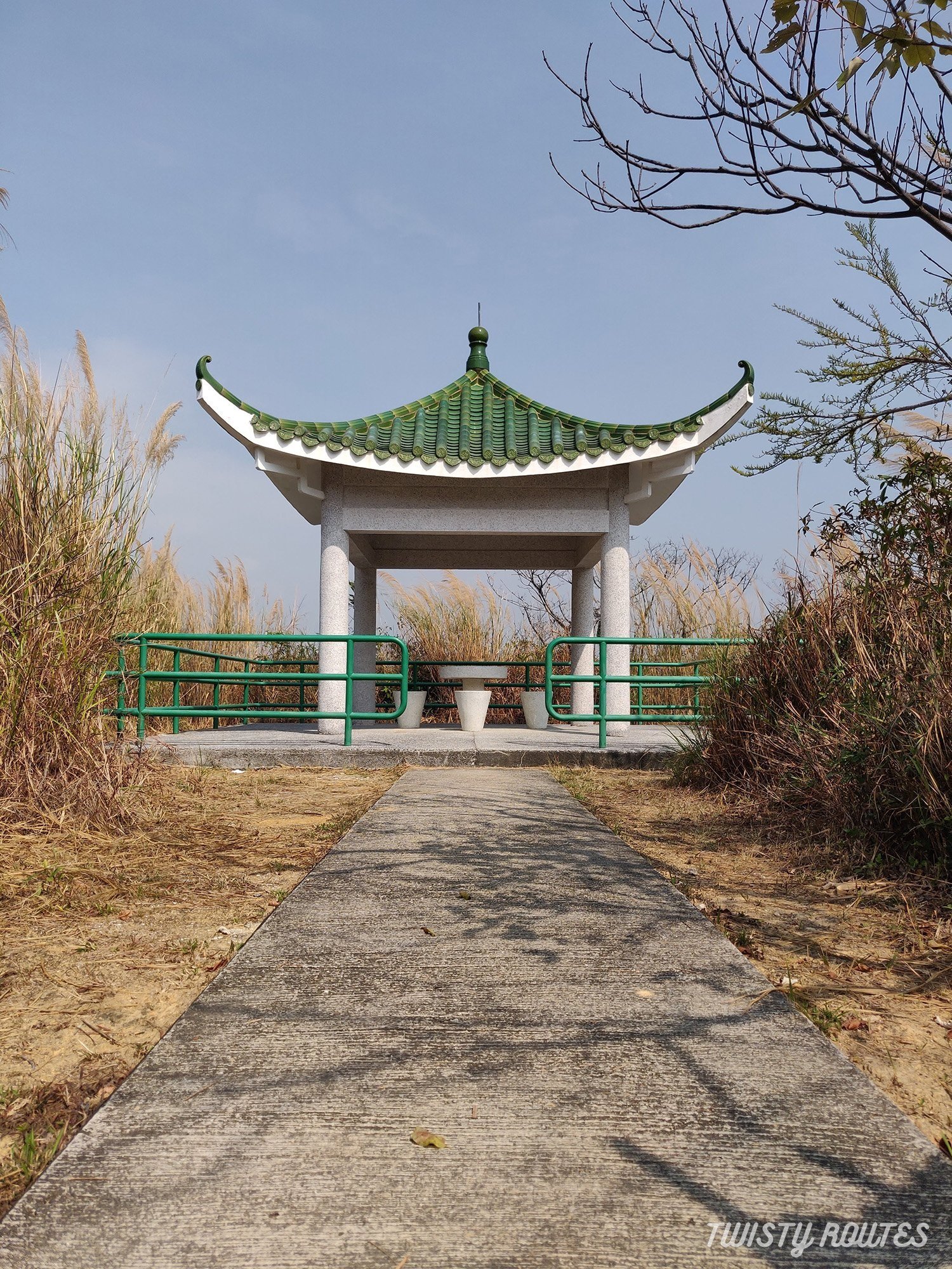
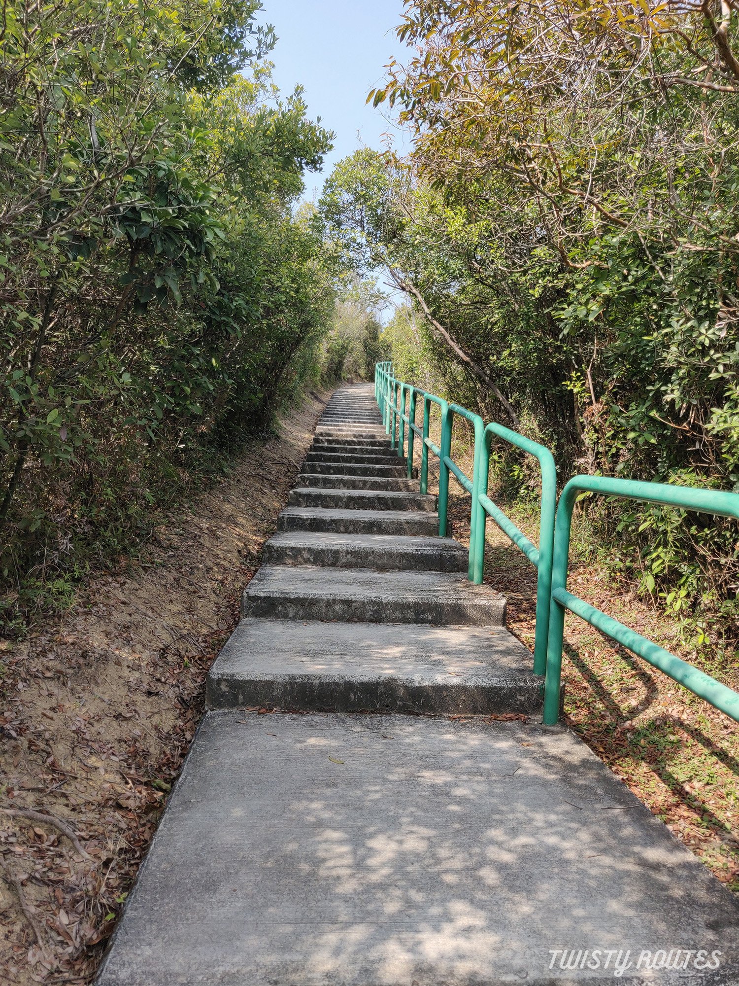
Take these stairs, climb up to a flat paved part of the hike. This hike until Tso Wan pier is all paved with gradual inclines and a few flights of stairs and a few tree tunnels which is doable. Soon you will start seeing the beautiful views of Kap Shui Mun bridge while you head to the pagoda - your first stop.
We saw a few people taking their mandatory selfies here and along the path - snap a few shots for your Instagram.

Views of Kap Shui Mun Bridge in the backdrop

Kap Shui Mun Bridge

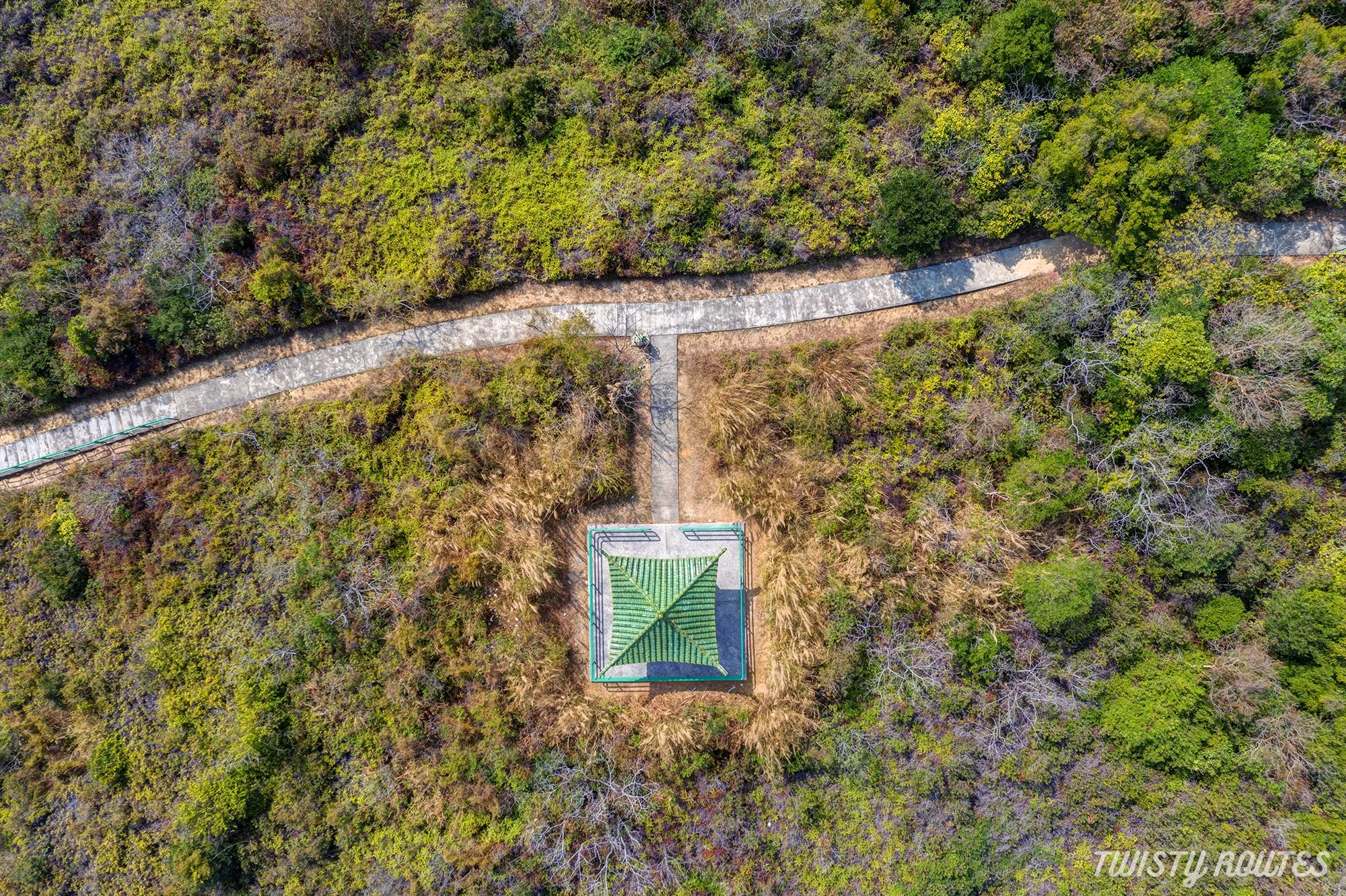
Aerial view of the hiking path
After hiking along this path you will arrive at a pagoda. As most part of this hike is unshaded you can rest at the pagoda for a bit before you head to Tso Wan Pier.
Aerial view of the pagoda
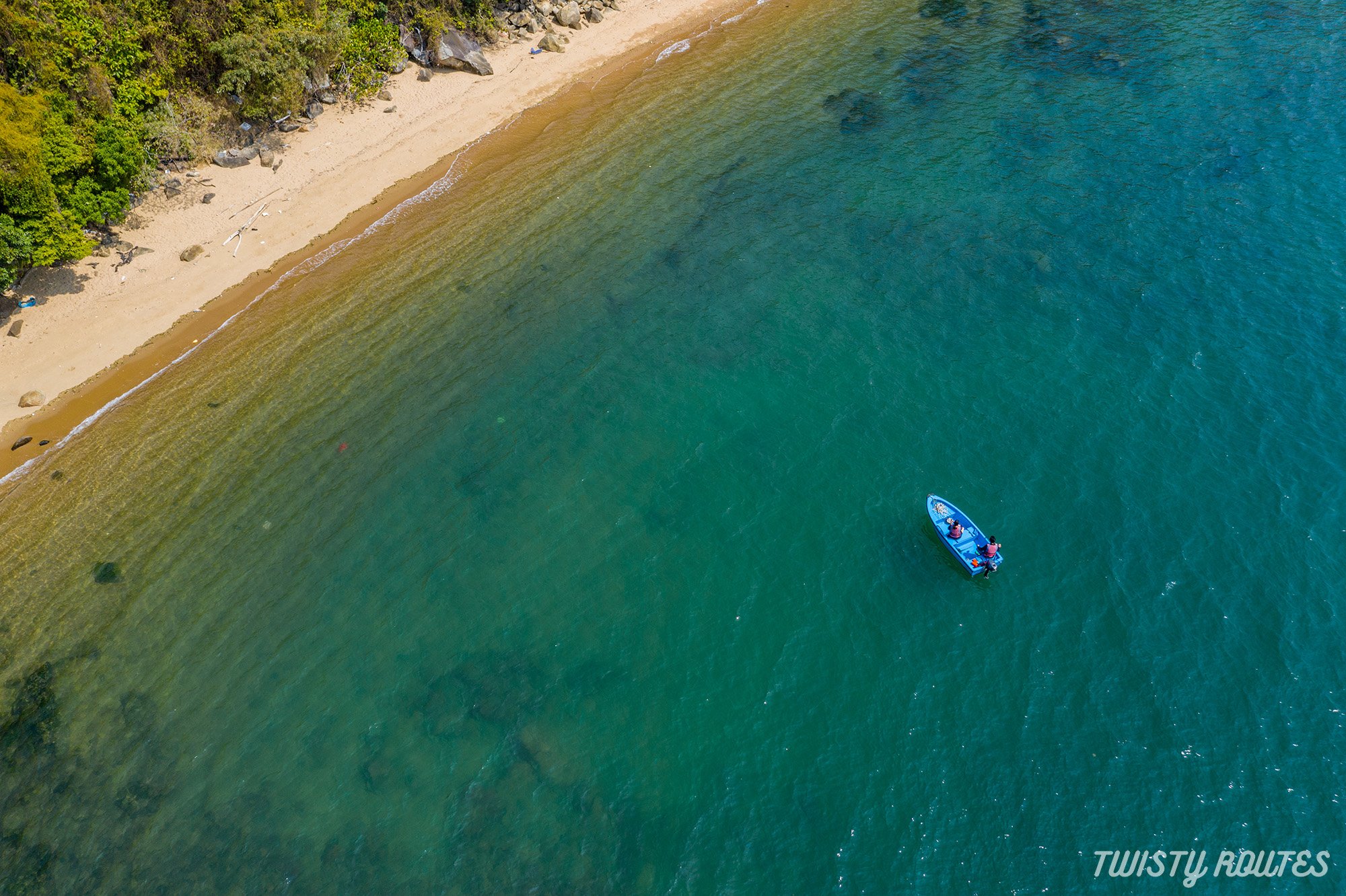
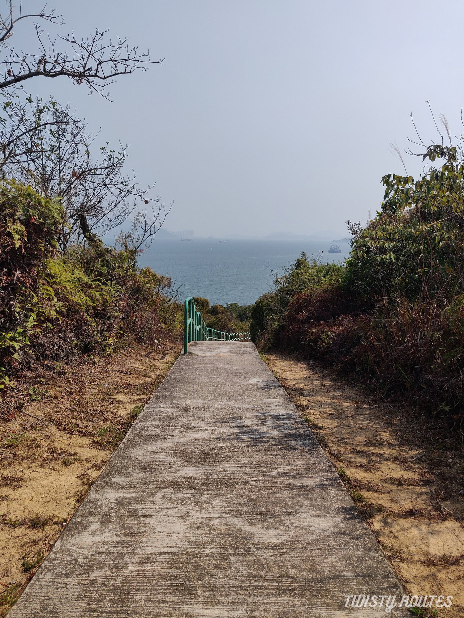
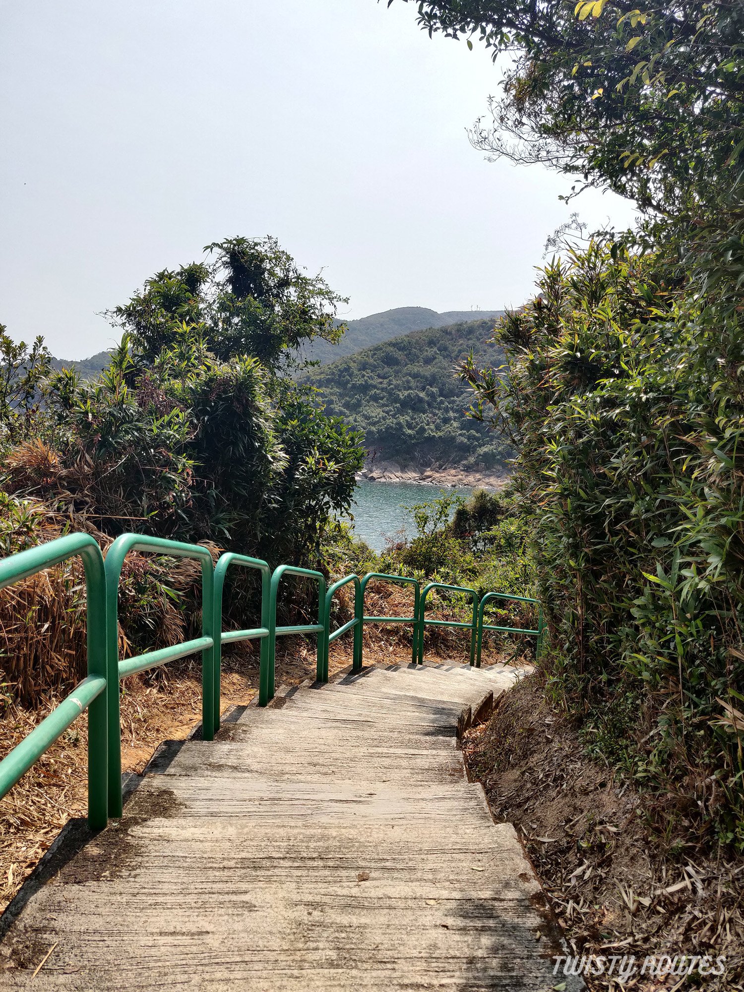
From the pagoda follow the steps downhill to Tso Wan Pier. When you get closer to the pier you will pass a few bamboo trees planted on both sides. By the time we reached the pier, it was getting hazy so we decided to trace our steps back to the start of the hike. While going back, the hardest part was climbing the stairs we took earlier to come down but that was for a few minutes then mostly again flat hike. So if you were to just get a few views of the three bridges we suggest this short loop until Tso Wan pier but you can also do a complete loop which is 7 kilometers approximate.
Trace your steps back to pagoda and Lantau toll link. Walk the same way back.

If you are heading to Tung Chung or airport (HKIA) stay on the same side to catch the bus but if you are heading back to city, take the subway to cross on the other side.

Subway at Lantau toll link
Useful tips
This is mostly an unshaded hike and if hiking during summer months carry your caps, umbrellas, and sunscreen.
It’s easy to get confused with the paths so follow the above instructions carefully
Do this hike early on in the day so you can get clear views of 3 bridges and also on a clear day when at the pier you can see IFC I and IFC II , ICC, and other buildings.
Photo Gallery